Know the water before you buy the land.
Water Table reads Arizona's public water records for any parcel and tells you what water comes with it, who decides, and the law behind each answer.
Cochise County
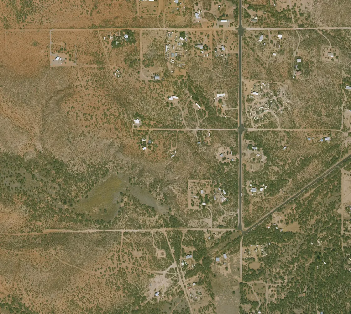
Well registry
Registration 55-637933 is on this parcel
Wells within about a mile
119 with a depth, mostly 120 to 190 ft, typically 160
Management areas
Outside every AMA and INA
USGS arsenic model
About 15% chance a well here is over the limit
Statewide parcels
ADWR · 3,484,372 rows
Well registry (55- wells)
ADWR · 241,044 rows
Active Management Areas and INAs
ADWR · 11 areas
Groundwater quality results
Water Quality Portal · 344,570 rows
Arsenic in domestic wells
USGS model · 3,628,485 cells
Subdivision public reports
ADRE · 4,222 read
Statutes and county rules
A.R.S. and county codes
From the warehouse
Decided by
Answer
Can I keep animals, a garden, horses?
Settled State law decides thisCan I split it later?
Depends State law decides thisWhat water will I legally have on the day I close?
Settled From the public recordCan I build here, and on what water?
Settled From the public recordLand report · October 16, 2026
1330 E Madison Rd, Whetstone
Cochise County · Arizona · 4.56 acres · Parcel 10626033
Outside AMAs and INAsGila River adjudication
For someone buying rural land: what water comes with it, what you can build on, and what to ask before you close.
At a glance
6 settled 0 likely 3 depend
The water isn't in the listing.
In Arizona, whether you can drill, how deep and at what cost depends on where the land sits: inside an Active Management Area, inside an Irrigation Non-Expansion Area, or outside both. A listing rarely says which, or whether the subdivision's covenants allow a well.
The answers sit with the Arizona Department of Water Resources and the county. Getting them takes hours of calls and searches. Water Table reads them for the parcel and puts each answer on one page.
What reports have found
- On 41 acres in Mohave County, state law allows a household well, but the subdivision's recorded covenants may not. The report names what to ask for before closing.
- On the same land, wells nearby run about 700 feet deep, about $43,000 all in. The nearest hauled water is about 10 miles away, at $4.25 per 1,000 gallons.
- On 4.6 acres in Cochise County, the land can be split into up to four lots, each on its own well.
Who it's for
- Brokers
- Answer a buyer's water questions in minutes, without hours of calls or handing them off.
- Buyers
- Know what water comes with the land before you close.
- Attorneys
- The records already pulled, each answer tied to the statute and the dataset it rests on, with dates.
- Developers
- Who decides, who to contact, and how much water the land supports, before you commit.
- Engineers
- The well, water and land records in one place, so your time goes to the analysis.
Questions
Where does the information come from?
Public records: well records from the Arizona Department of Water Resources, water rights and filings, county parcel and assessor records, and federal flood, wildfire and water quality data. Each answer lists the records it read and the date each was loaded.
Is this legal advice?
No. It is not legal advice, a title search or an appraisal. Each answer names who decides the question, so you know who to confirm it with.
What if the seller says there is a well and the report shows none?
The report shows what the state has on record. A well can exist without a record on file, and the report lists what to ask the seller for.
Can I share a report with a client?
Yes. Every report has a share link. Your client opens it without an account, with your name and contact at the top.
How current is it?
Each dataset is reloaded on its own schedule, and every answer shows the date the records behind it were loaded.
What does it cost?
Search is free. The reports are free through April 2027 for brokers and water professionals in the founding pilot.
Start with a parcel
Search is free. The reports are free through April 2027 for brokers and water professionals in the founding pilot.
Check a propertyQuestions, or want to see it on your own listings? Write to [email protected] or use the contact form.